A long stretch of snowfall is expected to affect highway travel across northern and parts of southern Ontario this week.
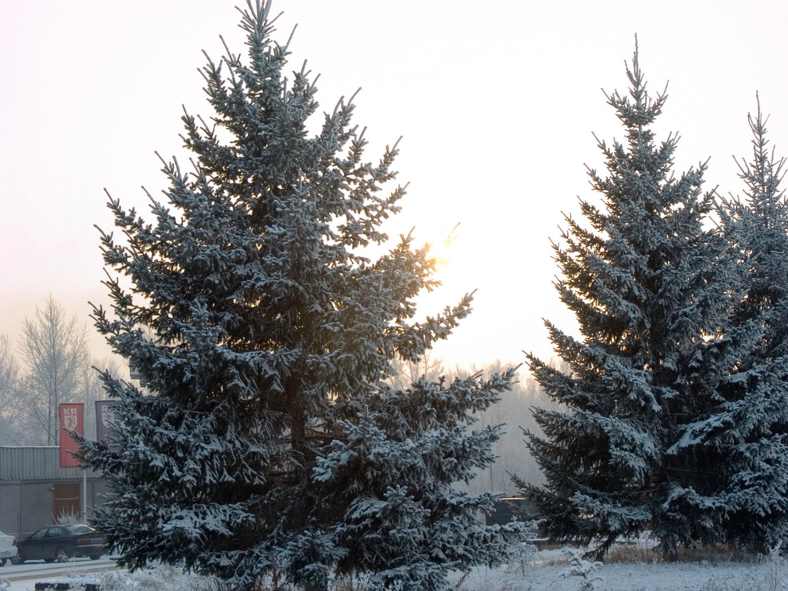
Winter weather will hit hard as November wraps up. Northern Ontario is set for a major snowfall starting late Tuesday, with heavy snow continuing through Thursday. The heaviest amounts—possibly over 30 cm—are expected between Thunder Bay, Geraldton, Marathon, and Moosonee. Strong winds near Lake Superior could reach 60–80 km/h, creating blowing snow and dangerous driving conditions. Travel on Highway 11/17 and along Lake Superior’s north shore may be especially difficult.
Southern Ontario won’t get the main storm, but lake-effect snow will develop Thursday and Friday as cold Arctic air moves in. Snow squalls off Lake Huron and Georgian Bay could cause whiteouts, and some may even push into the Greater Toronto Area.
Drivers should be prepared for reduced visibility, slippery roads, and possible road closures in the hardest-hit areas.