From mid-September to October, Ontario will see warmer-than-usual temperatures across the province, including big cities like Toronto and Ottawa. October should bring plenty of sunshine and fewer fall storms than normal.
However, The Weather Network says these warm conditions won’t last without a few breaks. Some blasts of cold air are expected during the first half of the season. By November, the weather pattern is expected to become more active and unsettled.
Even though mild temperatures may continue into November, Ontario could see a sudden shift into early winter. This means ski season in the province should begin close to its usual start time.
The new fall forecast, released by The Weather Network, calls for a “turbulent and changeable season” across Canada. Much of the country will enjoy stretches of mild weather with fewer storms, but that calm won’t last all season. Later in the fall, conditions are likely to become stormier and more unpredictable, leading to an early winter for many regions.
For Ontario, temperatures are expected to stay above normal overall. Most of the province will have average rainfall, although northeastern Ontario could get more precipitation than usual.
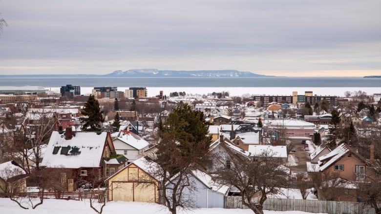
The Weather Network says Toronto typically sees its first snowfall on November 3, Windsor on November 8, and Thunder Bay on October 13. For most of southern Ontario, snow usually arrives in late October or early November.
For more seasonal details, the Farmers’ Almanac and Old Farmer’s Almanac have also released their fall forecasts. They predict a mix of thunderstorms, sunshine, chilly temperatures, and even some early snow. There’s also a day-by-day fall forecast available for Ontario to help you plan for when the cold and snow arrive.