Arctic Chill to Grip Ontario Early in the Week, Bringing Snow and Below-Seasonal Temperatures
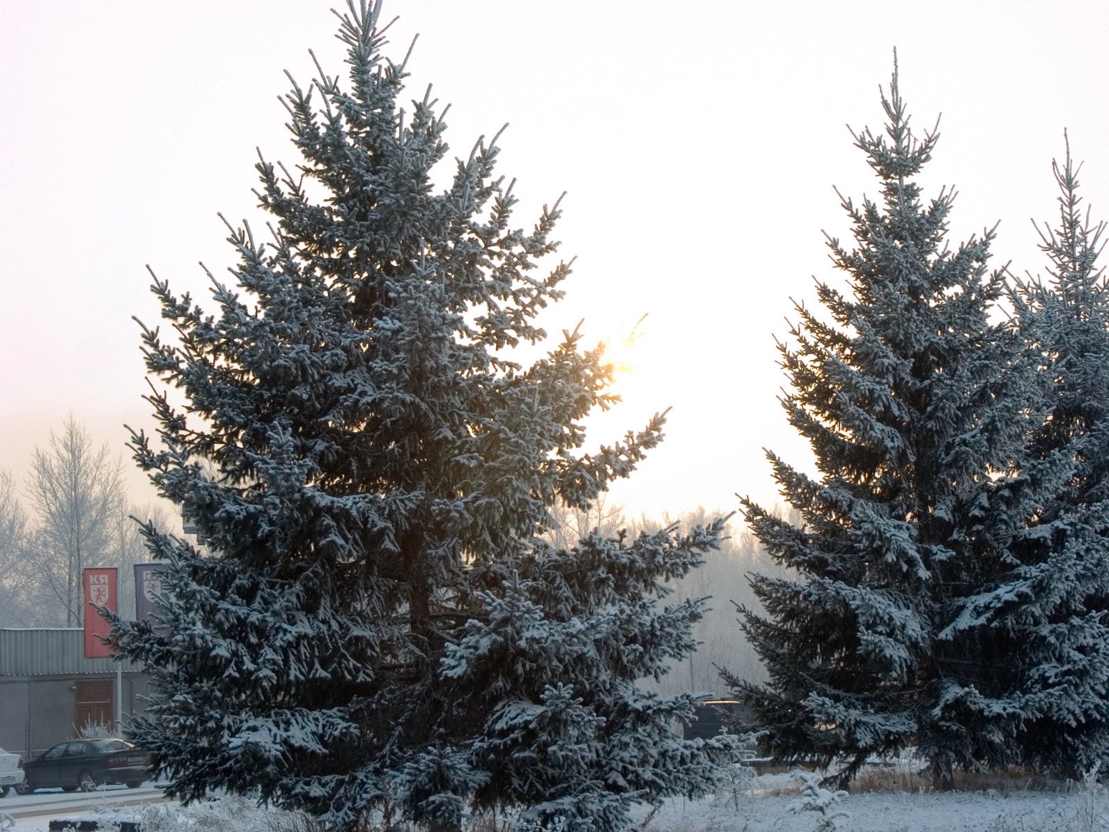
A blast of frigid Arctic air is set to descend over Ontario at the start of the new workweek, ushering in well-below-seasonal temperatures and a dose of midwinter-like snowfall across parts of the province.
Some regions, particularly downwind of the Great Lakes, could see significant snow accumulation, with totals reaching between 15 and 25 cm by Tuesday. The Bruce Peninsula is expected to be among the hardest hit, thanks to persistent lake-effect snow bands fueled by cold winds sweeping across the relatively warm waters.
This wintry interruption may come as a disappointment to those hoping for spring’s early arrival, but such weather is far from unusual for this time of year in Canada, where winter often overstays its welcome.
The weekend saw rain move into the region early Saturday, tapering to showers by evening. Rainfall totals ranged from 10 to 20 mm, with localized higher amounts along the Lake Erie shoreline.
Sunday will bring cooler conditions as an Arctic trough settles in, and a developing low-pressure system will track into the Great Lakes on Monday. Snow is expected to spread across northeastern and eastern Ontario by late Monday afternoon.
However, there’s still considerable uncertainty surrounding the storm’s exact strength and trajectory, as it will be intensifying over the Great Lakes where cold Arctic air meets the warmer lake waters. Currently, the highest potential for shovellable snow lies in northern regions, including the snowbelt and cottage country areas.
Fortunately, this bout of unseasonable cold won’t last long. Temperatures are forecast to return to near-seasonal norms by the end of the week.


