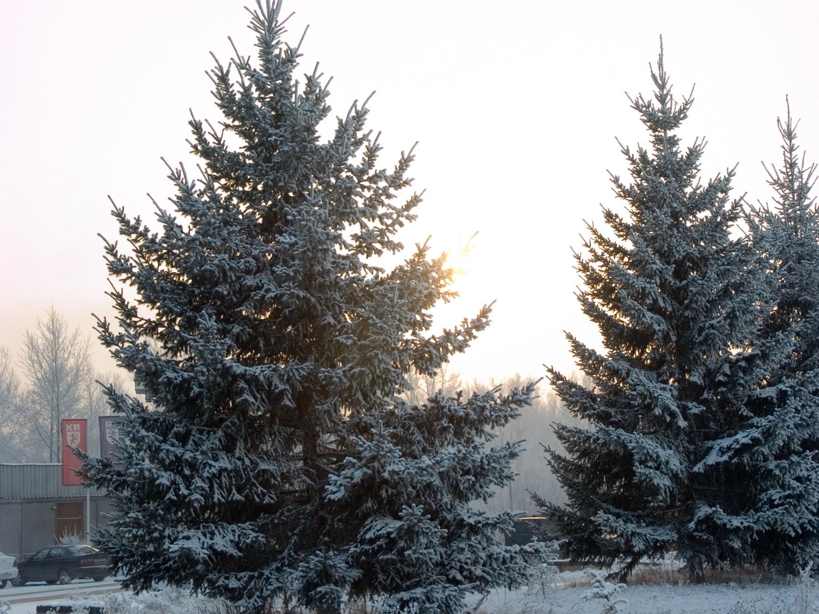
Just when we thought we’d made it through the worst of winter, Ontario’s weather is gearing up for another round of chaos. More snow is on the way early next week, despite our hopes for a milder spring.
Last Wednesday, April 2, brought an unexpected sight as snow blanketed downtown Toronto — and it turns out, that wasn’t the last of the wintry weather.
According to The Weather Network (TWN), Southern Ontario is about to be hit with a dynamic stretch of weather starting this weekend.
First up: more rain. Saturday, April 5, could bring an additional 30 to 50 mm of rainfall, raising the risk of localized flooding in areas already saturated by 50 to 70 mm earlier in the week. So if you’ve been splashing through puddles lately, get ready for more of the same.
And you might want to hold off on packing away the rain gear just yet. This active storm system will stick around through the weekend, bringing more downpours and potentially putting a damper on outdoor plans.
But that’s not all — brace yourself for a sharp temperature drop. After the rain, a blast of Arctic air will sweep into the region by Sunday, sending daytime highs plunging to the low single digits and pushing overnight lows below freezing.
This cold snap sets the stage for a snowy start to the week. Snow is expected to begin late Monday into Monday night, with accumulations possible across the snowbelt regions, the GTA, Hamilton, and areas further east. The storm’s exact path and intensity remain uncertain, but flakes are likely to fly.
TWN also notes that by Tuesday, April 8, cold winds blowing across the lakes could trigger lake-effect snow, adding to the totals in some areas.
While spring snow is never welcome, it’s not exactly rare. Toronto usually sees about 5 cm in April, while Ottawa averages around 11 cm.
Still, it’s not all bad news — there’s a warm-up in sight. By Thursday, temperatures could bounce back to around 11°C in Toronto, so don’t retire your spring wardrobe just yet. Better days are coming — eventually.


