On Monday, Canada issued numerous weather warnings and statements nationwide. The weather in June presents a diverse range of conditions, including air quality advisories and the potential for up to 30 cm of snow.
Throughout the month, various communities spanning from British Columbia to Quebec have been contending with wildfires. These intense fires have been exacerbated by persistently dry temperatures that have affected large portions of northern Canada and the Prairies region.
With the changing forecast, certain areas in need of rainfall are expected to receive precipitation in the coming days. However, this increase in rainfall may bring about additional challenges, as localized flooding becomes a possibility.
Meanwhile, several regions in Canada are currently under heat warnings, which could intensify the existing wildfire conditions and lead to further smoke pollution.
Here’s a glimpse of what can be anticipated in Canada over the next few days.
An atmospheric pattern is resulting in a combination of precipitation in the interior of British Columbia and western Alberta.
On Monday, Environment Canada released a special weather statement for Fraser Canyon, B.C., indicating the likelihood of heavy rainfall. A low-pressure system originating from Alberta is responsible for delivering 20 to 40 mm of rain to the communities of Ashcroft, Cache Creek, and the southern Chilcotin. This rainfall is expected to persist throughout the day and into Tuesday.
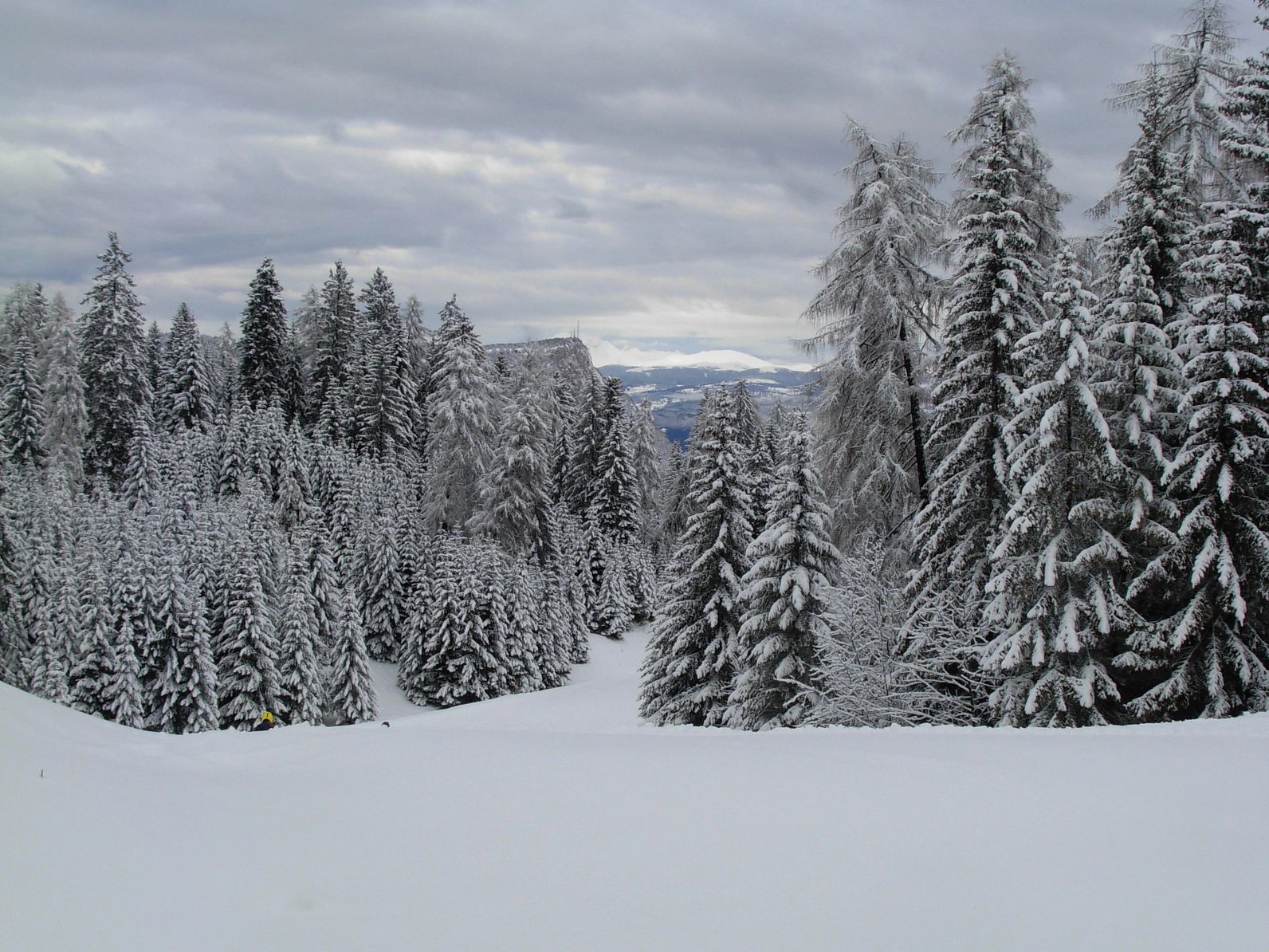
Furthermore, the same weather system is anticipated to bring a mix of snow and rain along the Coquihalla Highway near Kamloops.
According to a weather statement issued by Environment Canada, the snow level has descended to around 1,500 meters this evening and will remain relatively low until Tuesday morning. Lisa Ervin, a meteorologist from Environment Canada, informed CTV News Vancouver that the air mass accompanying this weather pattern is causing temperatures to drop by five to 10 degrees throughout the province. She amusingly referred to this occurrence as “June-uary.”
Flurries are projected to take place along the Okanagan Connector, while rain showers are likely near Allison Pass and Helmer Lake Summit.
In the northern regions of British Columbia, a contrasting situation unfolds. Numerous wildfires persist in the area, notably the Donnie Creek wildfire, which authorities have identified as the largest fire ever recorded in the province. The fire has expanded to approximately 5,343 square kilometers, nearly equivalent in size to Prince Edward Island (which spans 5,660 square kilometers).
Special air quality statements encompass the northern half of British Columbia, from Prince George to Fort Nelson, as Environment Canada warns that smoke will likely have the greatest impact on these communities within the next 24 to 48 hours.
Sections of Saskatchewan are currently under air quality statements issued by Environment Canada due to the presence of wildfire smoke.
As of Monday morning, communities located north of Prince Albert, such as La Ronge, Stanley Mission, and Buffalo Narrows, have reported stable air quality. However, Environment Canada cautions that air quality in these areas may fluctuate over short distances and exhibit significant variations from hour to hour.
A comparable advisory has also been issued for a specific area in Manitoba, encompassing the communities of Leaf Rapids and Lynn Lake.